I’m delighted to have two works included in the RA Summer Exhibition 2022. The two pieces come from the same ongoing series – Where Once the Waters. This project explores variations in rates of sea, lake and river rise around the world caused by global heating. We know that water levels around the word are rising (as our planet warms, our waters store much of the excess heat) but the rate of rise from place to place is not even. Some locations will experience more immediate and significant change, and more frequent inundation.
In a single framed letter (see below: Letter to Claire (Sea Level Reading: Boston MA) Claire is informed that since her birth year of 1975, the sea level at her birthplace of Boston has risen by 130mm. The idea here is to offer people personalised sea level “readings”. Perhaps by knowing what is happening at a coastline we are connected to will influence the way in which we engage with this aspect of the climate crisis.
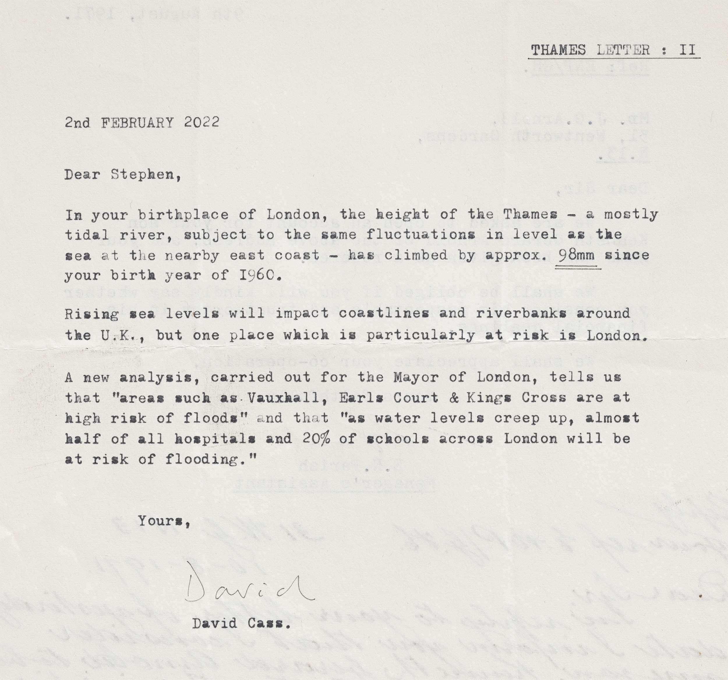
In a set of framed letters (Thames Letters) four Summer Exhibition jury members born in or near London are informed of the effects of sea level rise on the Thames across their lifetimes. We know that seas are rising around the world, but the impact on rivers is less frequently discussed. Rising waters will impact coastlines and riverbanks around the UK, but one place which is particularly at risk is London.
The Thames is a partially tidal river, and so changes in sea level directly impact the level of the Thames, despite the protection offered by the Thames Barrier. A recent report published by the Environment Agency tells us that ‘sea levels are increasing in the Thames Estuary and could rise by as much as 1.15 metres by 2100 under the higher climate change scenario from UKCP18’.
Furthermore, the southern part of the UK is lowering, tilting downward, seeming to accelerate the rate that the water is rising. Thus, London faces a twin tide in this time of climate breakdown. Urgent action must be taken. These letters, part of a larger project addressing hundreds of individuals around the world, aim to offer entry points – accessible data – bringing home a globally significant issue.
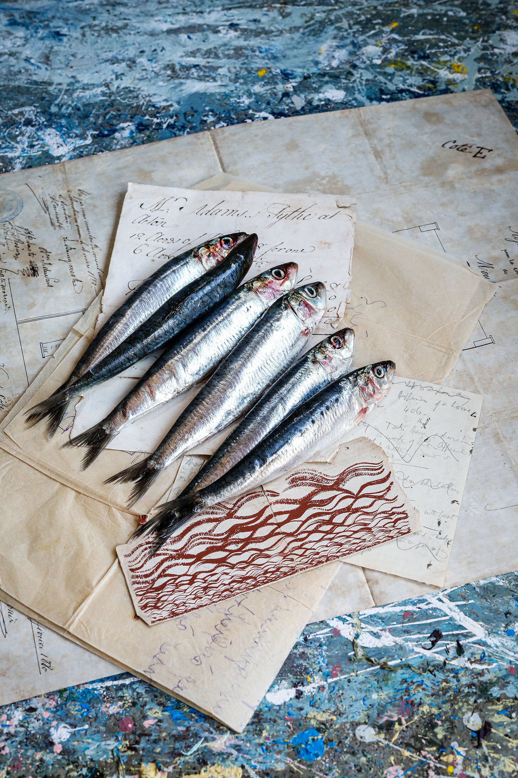
Thames Letters I-IV
Typed vintage papers found in London · 2022
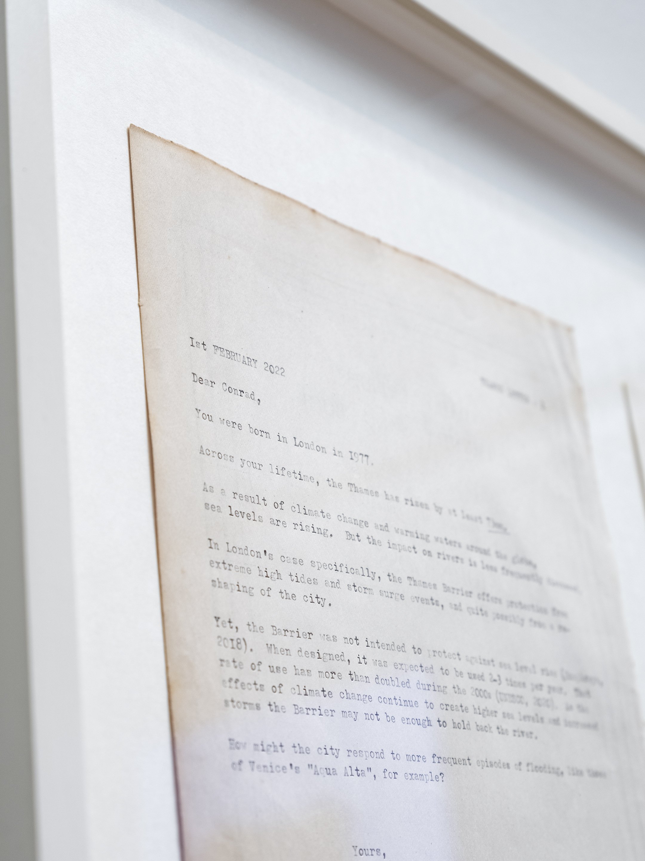
Thames Letter I
Dear Conrad,
You were born in London in 1977.
Across your lifetime, the Thames has risen by at least 73mm.
As a result of climate change and warming waters around the globe, sea levels are rising. But the impact on rivers is less frequently discussed.
In London’s case specifically, the Thames Barrier offers protection from extreme high tides and storm surge events, and quite possibly from a reshaping of the city.
Yet, the Barrier was not intended to protect against sea level rise (Humphreys, 2018). When designed and built, it was expected to be used 2-3 times per year. That rate of use has more than doubled during the 2000s (UNESCO, 2020). As the effects of climate change continue to create higher sea levels and increased storms the Barrier may not be enough to protect London.
How might the city respond to more frequent episodes of flooding, like those of Venice’s “acqua alta” for example?
Thames Letter II
Dear Stephen,
In your birthplace of London, the height of the Thames – a mostly tidal river, subject to the same fluctuations in level as the sea at the nearby east coast ¬– has climbed by approx. 98mm since your birth year of 1960.
Rising sea levels will impact coastlines and riverbanks around the UK, but one place which is particularly at risk is London.
A new analysis, carried out for the Mayor of London, tells us that ‘areas such as Vauxhall, Earls Court and Kings Cross are at high risk of floods’ and that ‘as water levels creep up, almost half of all hospitals and 20% of schools across London will be at risk of flooding.’
Thames Letter III
Dear Grayson,
You were born not far from London in 1960.
Believe it or not, the early River Thames once flowed through your birthplace.
According to the tide gauge at Tower Pier, we can see that the level of the river has climbed in the region of 10cm across your lifetime to date. Readings from the coast, at Sheerness and Southend agree. We could call this your own personal “sea level calculation”.
Generally, rising sea levels will shift the way that rivers naturally chart their path to the shoreline. The Thames is a partially tidal river, and so changes in sea level directly impact its height.
A recent report published by the Environment Agency tells us that if emissions targets are not met, that rise could be ‘as much as 1.15 metres by 2100’.
The window for action is quickly closing, for, like a pot of water on the stove, the water remains warm long after the gas is turned off.
Thames Letter IV
Dear Bill,
The Thames runs through your birthplace of Henley. Since your birth year of 1948, the river has risen by approx. 115mm.
The south of England faces a twin tide in this time of climate breakdown.
Based on data interpretation by the National Oceanic & Atmospheric Administration, we can see that the relative water level trend is +1.43 mm/year for the river Thames at Tower Pier; plus an extra millimetre per year from 2013 (according to the 2018 Bulletin of the American Meteorological Society “State of the Climate report”).
Combine this with the fact that, around 11,500 years ago, the ice sheets which covered the north of the British Isles began to retreat. The land that had been covered in ice continues to rise – or, spring back – in reaction to the removed ice’s weight. As this rise occurs in the north a downward tilt occurs in the south, seeming to further accelerate the rate that water levels rise relative to the land.
We all must be able to enter into the science. These letters – part of a larger project addressing individuals around the world – aim to offer entry points, bringing home a globally significant issue.

